|
      
| |
  |
|
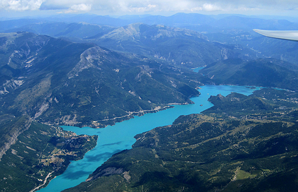
Lac Castellane
|
|
|
There was a fair amount of overcast today at launch time, so
there was some doubt as to the best place to tow to. So it was with some
surprise that I hit a 6-knotter as we were passing over the small bumps to
the north of Hongrie en-route to la Motte du Caire. At 7000ft I set off for
the parcours, arriving comfortably a couple of climbs later at the Cheval
Blanc. Again, the weather looked better to the east so I continued to the
lac Castellane and then a little further south until the cumulus
disappeared.
Turning northwards, I followed some cumulus streets that
were pointing to the lac d'Allos, where cloudbase rose to 11,000ft,
comfortable by any standard. Further to the northeast, the sky was a deep,
uniform grey, so I gave up that route into the St Crepin valley and instead
headed for the western Ecrins via the parcours.
|
|
|
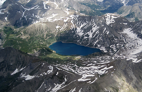
Lac d'Allos
|
|
|
I found the climbs increasingly difficult to use northwest of
the Orciere Merlette valley. The cumuli were flat and the normally reliable
pointy peaks didn't deliver the climbs they promised. But I had enough
altitude to run away to Gap, and continued edging my way northwards past the
lac Sautet until I could see a cracking cloud street that ran away to the
northeast following the ridge line that lay just to the south of Grenoble.
Looking eastwards I could see that the northern Ecrins had the same good
conditions and was, for today at least, a better option than the regular
route around the south.
It was also remarkable that after my many years
visiting the French Alps this was the first time I had followed this
route.
|
|
|
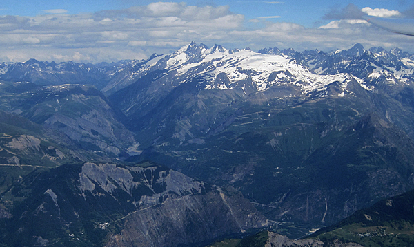
Looking east to la Meije
|
|
|
Very soon I could see Grenoble at the junction of the three
valleys, and after taking a couple of really grainy (and therefore,
unfortunately, non-publishable) photos, I ran back along the ridge line and
across the valley to the west, now looking at Obiou and then the Die valley
as a final turnpoint. The Vercors looked glorious in the late afternoon
sunshine, matched by the lift which was still giving strong climbs to over
8000ft.
After a few forays into the Jabron valley to see who of
the four women in our house was in our pool, I returned for a landing and,
in advance of tomorrow's poor weather forecast, a speedy de-rig.
|
|
|
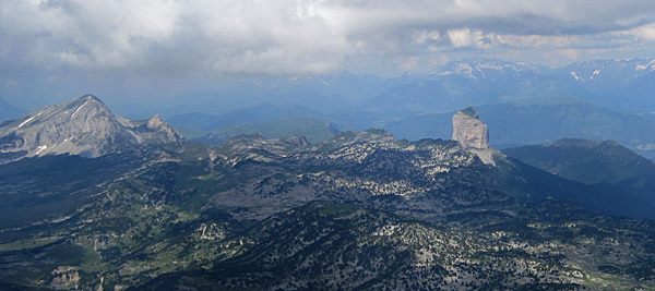
Vercors
|
|
| |
|