|
       
| |
|
 
|
|
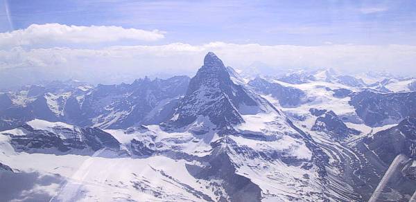
The Matterhorn from the north
|
| New
Pastures
Today brought another good forecast and my plan, once
again, was to explore the mountains in the north. An early launch and good
early climbs got me to 12,000ft at the col de Couleau, near St Crepin,
within an hour of launching. My route then took me past the glacier blanc
and the col de Galibier before heading east towards Sollieres. The col du
Carro looked clear with a 13,000ft cloudbase so I carried on into the
Aosta valley, following the ridge to the east of the val du Rhêmes.
Within 2 hours 30 minutes of launching, I was climbing to nearly 14,000ft
over the Monte Mary, north of Aosta airfield. It was just after 3pm so I
had plenty of time in hand to explore - my calculations indicated that 5pm
at Aosta left enough time for the 200km trip home. |
|
|
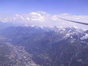
Crossing the Aosta valley
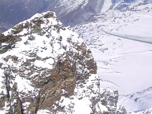
Matterhorn summit
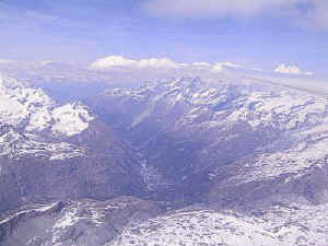
The Zermatt valley
|
During
the winter I had bought and marked up a 1:200,000 map of southern
Switzerland, not seriously considering that I would actually need it. Now
I was grateful to have brought it along with me.
The Theodulepass lies at 10,000ft between Italy and
Switzerland. I climbed in a weak thermal just above the pass until I
was level with the summit of of the Matterhorn. I then flew around its
peak - as I rounded the north side I looked down its northern face,astonished by the sheer scale of the drop.
About 20km beyond the pass I saw cumulus resting on the peaks that rose
above the eastern side of the Zermatt valley.
I caught myself hesitating before making a decision.
Should I go further north? If I did, would I get back? My map showed
landable airfields in the next valley, although I had not actually seen
them.
On reaching the cumulus I was happy to find good lift to
14,000ft and, looking back at the col, realised that getting back across
it shouldn't be a problem. The cumulus followed the mountains as they led
towards the town of Visp in the next major valley, and I was able to fly
in continuous lift until the end of the ridge. Further to the north lay
the Breithorn and Aletschhorn and just beyond them the Jungfrau and the
Eiger. I decided to leave those for another day, choosing to turn the
Simplon pass, which lies just to the south of Brig. |
|
| Heading
back towards Zermatt on the eastern side of the valley, I was awed by
the scale of the mountains, higher and more heavily laden with snow and
glaciers than those of the Ecrins and the Queyras. The scenery was
absolutely stunning.
Soon I was back within range of the Theodulepass. As I
crossed over I thought 'Hmmm - that's another 5 hours off a road
retrieve'.
|
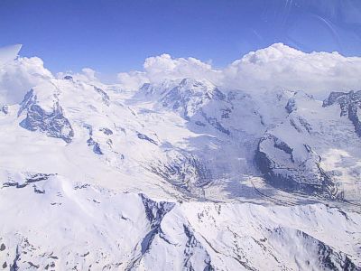
Glacier to the north of Monte Rosa
|
|
| I was
overhead Aosta by 5pm and the sky ahead still looked good, with no sign of
storms. Although still 200km
from home I now felt on familiar ground and took my regular route home,
past the col du Carro (another 5 hours saved...) and the col d'Etache
(ditto). I passed to the north of the Barre des Ecrins, onto the
Valgaudemar, past the pic de Bure and finally reached Sisteron after a
total of 600km flown. It had been a fabulous day out and will remain one
of my most memorable flights in the Alps.
Logger
file |
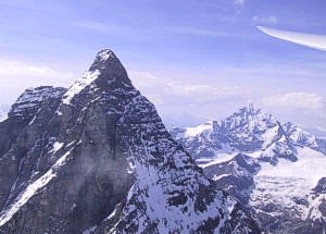
Matterhorn, homeward bound
|
|